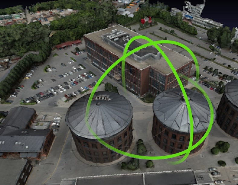
Automatic 3D AI analysis based on photographs from drones.


To create a 3D model of the area, with the exact heights of the objects, you will only need photos from a drone.
Our software has a simple API that takes photos and then works completely automatically.


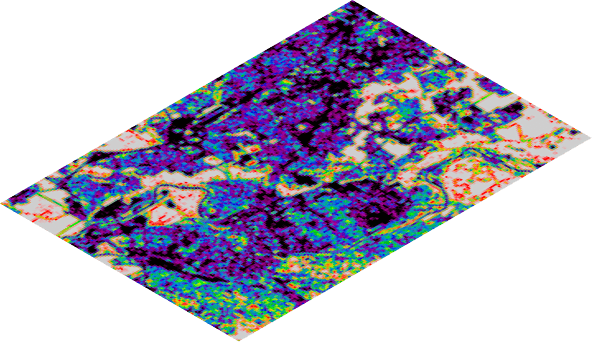
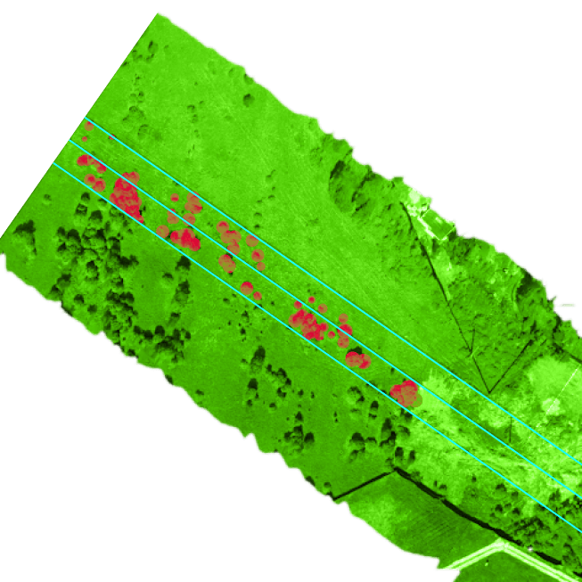
We were faced with the task of identifying dangerous trees in the area of power lines.
Determination of tree heights from the satellite was not accurate enough, and the use of UAVs with lidar is quite expensive for the client.
Our solution successfully solved the problem. The area of green vegetation in the right-of-way was calculated, the heights of trees and the thickness of trunks were calculated.
Height calculation accuracy - up to 0.2m
Accuracy of horizontal calculations - up to 0.05m
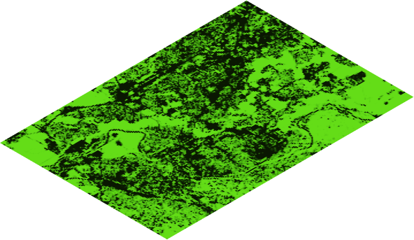
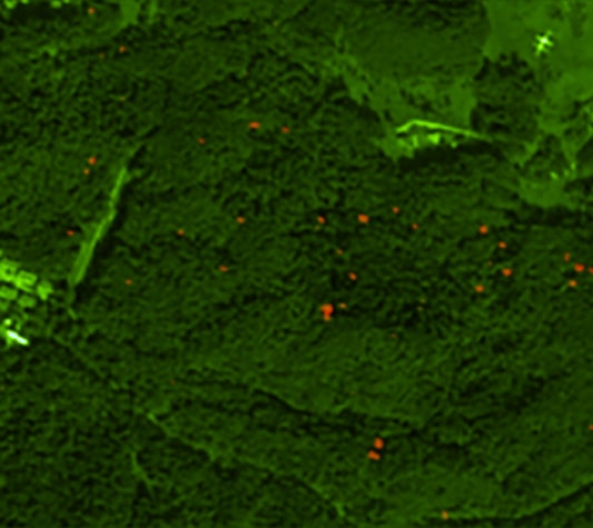
We were faced with the task of identifying dead trees in the park. It was important to determine the causes already by ground services.
Dry trees can be infested with parasites and are dangerous to healthy trees. Dry trees are also more likely to fall and pose a threat to people and infrastructure.
Manually identifying trees was a very time consuming task, and our neural network solved this problem quickly and with high accuracy.
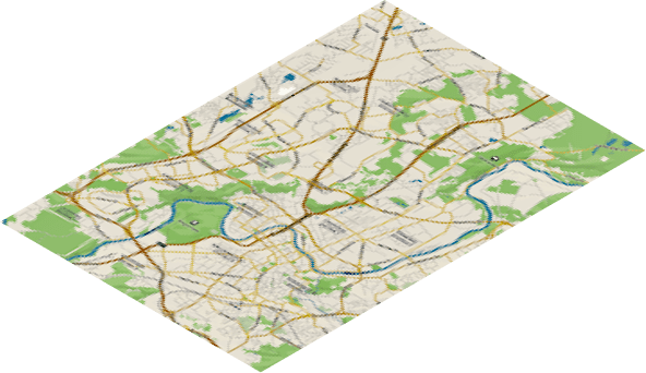
Calculation of the area of green spaces and overlapping of tree crowns for the analysis of the urban environment.